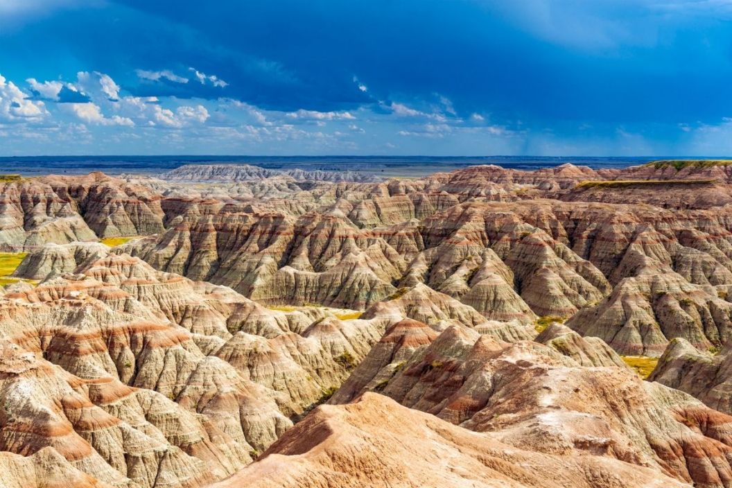
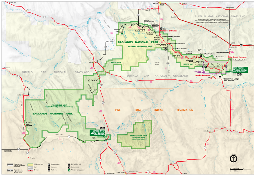
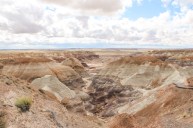
Badlands National Park in South Dakota is over 244,000 acres of stunning geologic formations and houses the world's richest collection of Oligocene-age vertebrate fossils. Besides being a paleontological wonder, the Badlands provides fantastic camping opportunities, hiking, star gazing, and more, making it the perfect destination for your family. From the buttes and spires to the mixed-grass prairies, you will be astounded at the beauty of the Badlands. But first, you'll need a Badlands National Park Map.
Badlands National Park Map
If you like your National Park maps fancier, there are plenty of free topographic maps available of the park.
History of Badlands National Park
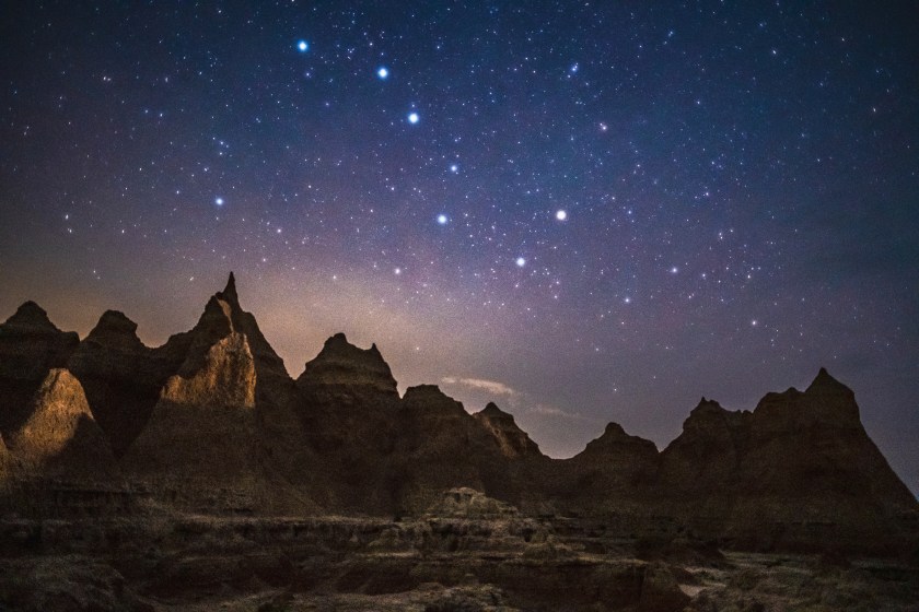
timothy mattimore via Getty Images
Used by Native Americans for 11,000 years, the Badlands was first settled by paleo-Americans, followed by the Arikara. The Oglala Lakota people were the first to give the Badlands their name, "Mako Sica," which translates to "Bad Lands," likely because of the rugged terrain, cold winters, hot summers, and overall difficult living conditions. They were not the last to call it this, as French-Canadian fur-trappers called it "les mauvaises terres pour traverser," which translates to "bad lands to travel through."
The Badlands rise to the west and turn into the Black Hills National Forest. For those wanting to extend their adventure, the Black Hills are easily accessible from the northeastern Pinnacles entrance of Badlands National Park-take I-90 east for an hour until you reach Rapid City.
The Oglala Lakota now live on the Pine Ridge Indian Reservation near these ancestral lands. In 1887, the U.S. Congress passed the Dawes Act, allowing the federal government to break up tribal lands to assimilate Native Americans into American culture. One of the last Native American ghost dances took place at the Stronghold Table in the South Unit of the Badlands.
During World War II, the government used the land as a gunnery range. The Minuteman Missile National Historic Site lies just minutes to the east of the Ben Reifel Road entrance to the park. On March 4. 1929, President Calvin Coolidge authorized the Badlands National Monument in South Dakota, renamed Badlands National Park in 1978.
Planning your Trip to Badlands National Park
Located in Southwestern South Dakota, about 10 miles south of Rapid City, you will want to start your trip at the Ben Reifel Visitor Center. You can get information for your stay at the visitor center, view a working fossil preparation lab, visit exhibits, and visit the gift shop. There is a smaller visitor center in the South Unit of the park, the White River Visitor Center. The best time to go is in the Spring, or late August through September, when it isn't too hot, too cold, or too rainy. Summertime can get extremely hot with severe thunderstorms. Prepare for an impressive night sky, exploration of fossil beds, and remarkable rock formations.
Staying at Badlands National Park
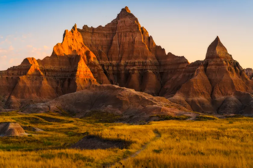
Joecho-16 via Getty Images
Available Cabins
If Badlands National Park camping is not appealing, cabins can stay in at Cedar Pass Lodge. Cabins are equipped with microwaves, coffee makers, televisions, air conditioning, and heat.
Badlands National Park Camping
There are two campgrounds at Badlands National Park, the Cedar Pass Campground and the Sage Creek Campground. Cedar Pass is located near the Ben Reifel Visitor Center and has 96 sites, some with RV electrical hookups and group campsites. You will need a reservation for a cabin or a campsite, which you can make here. Sage Creek Campground is a free, first-come-first-serve campground with 22 sites located on Sage Creek Rim Road. Any RV or pull trailer cannot be over 18 feet in length. A portion of the Sage Creek Campground is designated for horse use. Pit toilets and covered picnic tables are available, but not water.
Backcountry camping is also available, as long as you are 0.5 miles from a road or trail and are not visible from a trail or roadway. Deer Haven and the Sage Creek Wilderness Area are popular spots for backcountry camping. Those interested in backcountry camping in the South Unit are encouraged to visit the White River Visitor Center before camping to ensure you will not be camping on private land.
Best Hiking Trails
The Badlands has eight official hiking trails and an open hike policy, meaning hikers can go anywhere off-trail. One popular trail is Castle Trail-the longest trail in the park at 10 miles passes rock formations and meets up with the Fossil Exhibit Trail.
Fossil Exhibit is a fully accessible 1/4 mile boardwalk trail with fossil replicas and exhibits of extinct animals that once roamed the area. Notch Trail is a moderately strenuous trail that climbs a log ladder to "the Notch" that offers a stunning view of the White River Valley. The National Park Service does not recommend this hike for those with a fear of heights. The Door Trail is an easy, accessible 1/4 mile boardwalk trail that leads to a spot k in the Badlands Wall known as "the door."
Driving through Badlands National Park
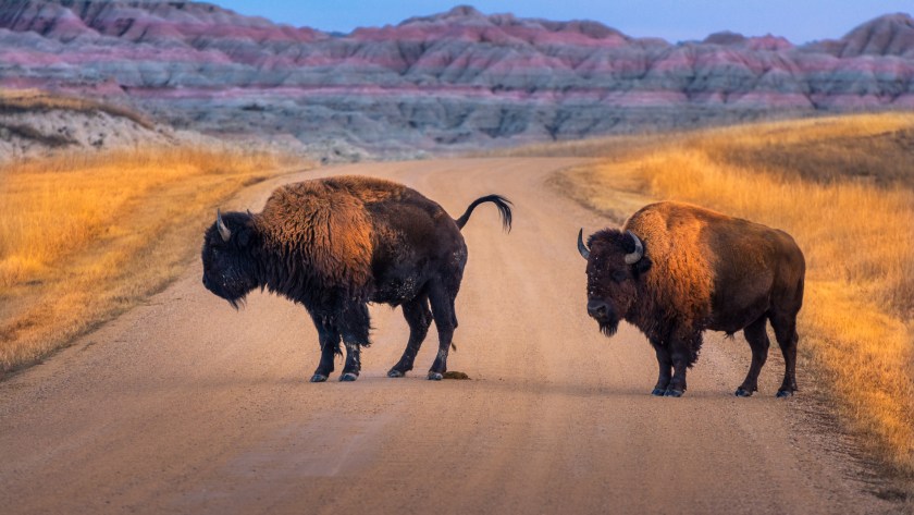
lavin photography via Getty Images
Perhaps one of the most effective ways to explore the park is by driving Badlands Loop Road, the main path through the North Unit. Along the road are 12 overlooks to stop and get amazing views of the Badlands from. The drive can take one to two hours.
Badlands Wildlife
The Badlands wilderness is full of fascinating wildlife. Besides the endangered Black-Footed Ferret, you may see Prairie Dogs, Bighorn Sheep, Buffalo, and Pronghorns. Remember to keep your distance from any animal you come across, and if they see you, you are too close.
For more information, visit the park's page on the NPS website. Other great road trips from Badlands National Park include Custer State Park, Wind Cave National Park, Mount Rushmore, Black Hills, and Wall Drug.
Have any great photos from a trip to the Badlands? Share your adventure at our Wide Open Roads Facebook!
