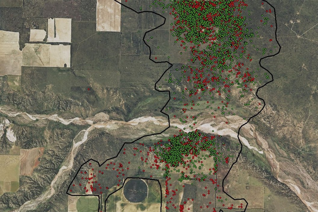
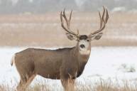
This image tracking mule deer movement should give hunters some insight on the distance some deer travel!
Texas Parks and Wildlife Department - District 2 Facebook page posted this amazing photo a couple years ago that could tell deer hunters 1,000 words on mule deer habitat. The images below shows on mule deer buck's movement over a two-year period.
What's really interesting is the wide range of spots in the Texas Panhandle that the GPS location was detected. The area was nearly 8,000 acres!
TPWD practices mule deer management using these details, and is able to keep tabs on the deer population numbers, which in turn informs decisions on hunting season dates, hunting license allotments, and the general success rate year in and year out.
Later they shared an update, explaining that the GPS collar had been removed, but the ear tags remained. The buck was identified some six miles away, meaning he certainly didn't slow down much!
And finally, Buck #54 had his whereabouts shared, with a wide-ranging location map depicting the buck's spot. This buck's area was closer to 8,500 acres.
As you can see, this type of information can be extremely useful when it comes to how wildlife organizations help manage deer herds.
Mule deer are specifically found in the state's panhandle region as well as West Texas. In the Lone Start State, 74 of 254 counties have mule deer seasons that run from early November until mid-December.
Did you enjoy this post? CLICK HERE to view more articles by Jesse Males. You can also follow him on Facebook Backwater Fly Fishing, Twitter @Backwater_Fly, and Instagram backwaterflyfishing.
NEXT: BASS BREAKS THROUGH THE ICE TO EAT TOPWATER LURE
WATCH
