A new bill to modernize public access information has passed the senate.
Outdoor enthusiasts may soon be able to enjoy standardized maps and information on our country's public lands after the Modernizing Access to Our Public Land Act (MAPLand) passed the senate. It will now go to President Biden's desk for signing into law.
The MAPLand act has had heavy bipartisan support and passed the House last November with a unanimous decision. At its core, the act looks to clear up the confusion and gray areas when it comes to access to public lands.
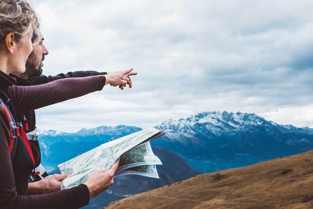
Much of the data on public areas managed by agencies like the Army Corps of Engineers, Bureau of Land Management, the National Park Service, and other agencies are kept as paper maps and records only.
In fact, the website for the Theodore Roosevelt Conservation Partnership (TRCP) notes the U.S. Forest Service has 37,000 easements, but the documents for only 5,000 have been converted into digital files readily available to the public.
Additionally, many of the older maps may be inaccurate, or inconsistent across platforms, leading to confusion and conflicts with private landowners. The MAPLand act will require the different agencies to digitize and standardize all records for public lands. It's not just borders of public areas either. It will also be for easement information, right of ways, the types of travel roads and trails are open to and areas with boating restrictions. For hunters and fishermen, it will also make the boundaries of areas with restrictions on these activities clearer.
The act will also require the agencies to make all this information readily available to the public. The TRCP says the information will be available as geospatial files. TRCP President and CEO Whit Fosburgh praised the passing of the act in a press release on their website.
"We appreciate the leadership shown by members of the Senate in seeing the MAPLand Act through to the finish line," Fosburgh said. "Hunters and anglers across the country have a good reason to celebrate this moment, which again demonstrates that conservation and our uniquely American public lands system transcend partisanship."
The release notes the Act was sponsored by Republican Senator Jim Risch of Idaho, and was co-sponsored by Independent Angus King of Maine, Republicans John Barrasso, Susan Collins, Mike Crapo, Ted Cruz, Steve Daines, Cynthia Lummis, and Democrats Joe Manchin, Ron Wyden, Jon Tester, Tammy Baldwin, Martin Heinrich, Margaret Wood Hassan, Jacky Rosen, Mark Kelly, and John Hickenlooper.
The MAPLand Act will now head to President Biden's desk for signature to become law, there's no word on how quickly the data on public lands will be updated and made public just yet.
For more outdoor content from Travis Smola, be sure to follow him on Twitter and Instagram For original videos, check out his Geocaching and Outdoors with Travis YouTube channels.


