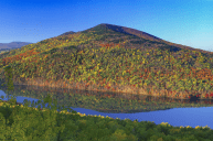
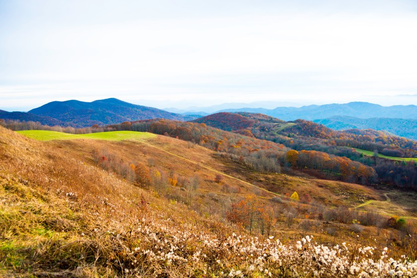
Just over an hour from downtown Asheville, North Carolina, is Max Patch—a dramatic bald mountain along the Appalachian Trail. A short, easy climb from the gravel parking lot brings hikers to a gorgeous grassy hilltop with 360-degree views of the surrounding Tennessee and North Carolina mountains.
The Forest Service has recently placed sensible limitations on the recreational use of Max Patch which will allow its sensitive ecosystem to flourish naturally—and which makes now the perfect time to visit this beautiful North Carolina mountaintop.
Getting to Max Patch
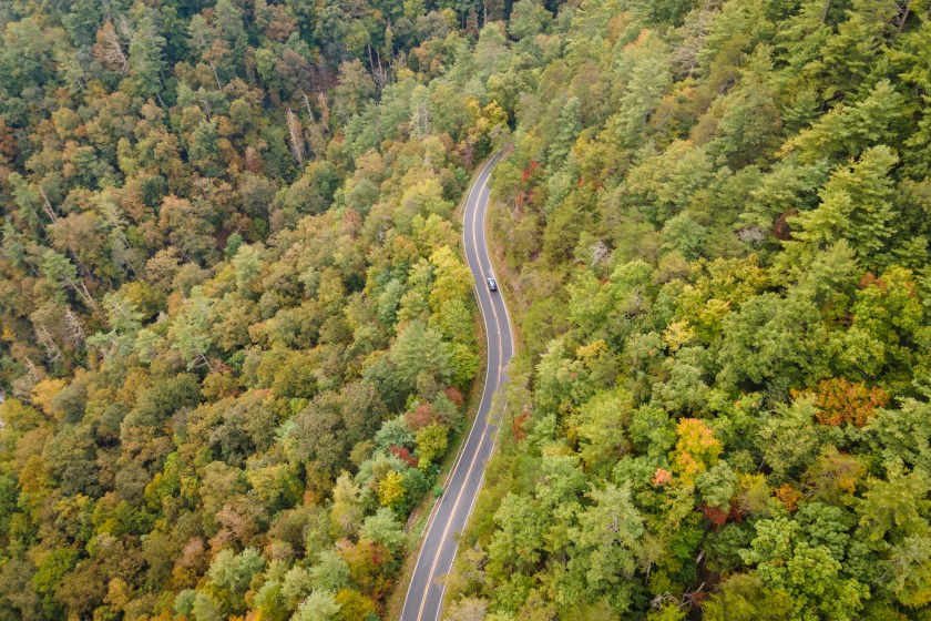
Pisgah National Forest | Getty Images, Eifel Kreutz
Max Patch Mountain is located deep in the Pisgah National Forest. Cell service is spotty at best here, which means you'll want a basic idea of where you're going before you arrive. You should also be prepared for unpaved, bumpy roads made of dirt and gravel. Driving a high-clearance vehicle whenever you visit is also a good idea here, and you definitely need AWD if you're going to visit in the winter (or when it's been raining heavily).
From Asheville, drive west on I-40 for about 40 miles. Take exit 7 for Harmon's Den and then take a right on Cold Springs Road (here, it quickly turns from pavement to gravel). A little over 6 miles up the road, you'll turn onto Max Patch Road, which can be a mess during wet or snowy weather. Take a left here and drive 1.5 miles until you see the Max Patch parking area on your right.
Hot Springs, North Caroline, is another town near the Max Patch hike that makes a great stopover before or after, or a nice place for a weekend visit. To get to Max Patch from Hot Springs, take Highway 209 (also known as the Appalachian Medley Scenic Byway for good reason!) about 7 miles and turn right onto Meadow Fork Road. Drive about 5 more miles and turn right onto Little Creek Road. After three miles on Little Creek, you'll take a right onto State Road 1182. Max Patch parking will be about 3 miles beyond that turn.
If the Max Patch parking area is full, you can park along the gravel road. Be respectful and ensure your car is far enough off the road to allow traffic to pass.
Hiking to the Max Patch Bald
Getty Images, Doug Ash
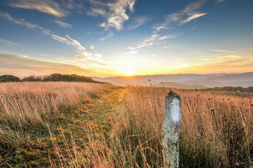
The Max Patch loop trail is a fairly easy, 1.5-mile hike with 300 feet of elevation gain to reach the 4600-foot summit. Most people do it clockwise, starting the trail to the left and going north.
Shortly after you leave the parking area, the trail splits and there is a sign indicating that the Appalachian Trail continues to the left, and the summit of Max Patch is to the right. Follow the blue blazes to the right for the Max Patch summit. Before long, you'll exit the forest of oaks and rhododendrons and enter a grassy meadow. If you time it right in the spring, you'll find the meadow's perennial grasses dotted with bright wildflowers. Twenty miles to the southwest, you'll see the Great Smoky Mountains, and looking directly west, the flatlands of Tennessee.
After taking in the views, continue on the trail at the southern end of the meadow down into the forest. The blue-blazed trail will bring you back to the parking area.
Just keep in mind: Pisgah National Forest is home to black bears, so make sure you bring bear spray and take other safety precautions for hiking in bear country.
Max Patch to Hot Springs on the Appalachian Trail
Getty Images, Alisha Bube
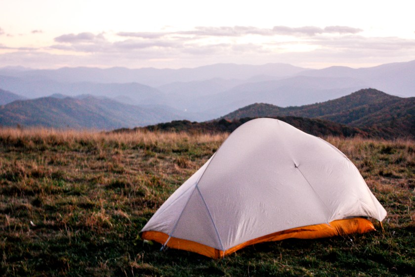
If you have two cars, Max Patch offers a great option for an overnight, point-to-point backpacking trip. Leave one car at the Appalachian Trail Head: South Hot Springs, then drive to the Max Patch parking area. After checking out the summit of Max Patch, return to where the Appalachian Trail crosses the summit trail and head north.
You cannot camp on the Max Patch summit, but there are many other camping spots along this 19.2-mile Appalachian Trail to Hot Springs stretch. Plan your trip according to water availability, desired daily mileage, and your timing needs.
Don't forget to allot some time to grab a beer in Hot Springs and visit the Hot Springs Resort—your muscles will thank you for a soak after all that hiking! Hot Springs Resort & Spa offers a collection of reservable mineral baths located in private shelters along the river. If you're hungry after your hike, Big Pillow Brewing is a local Hot Springs favorite.
Follow the Rules to Keep Max Patch Beautiful
Getty Images, dosecreative
Max Patch is a unique environment called a "bald mountain" because of its combination of dense forest and treeless meadow. The top of Max Patch was cleared to be used as pasture back in the early 1800s and now serves as an important habitat for several bird species, including the golden-winged warbler.
Because of the fragile ecosystem on Max Patch, it's extremely important that all visitors follow Leave No Trace principles. This includes staying on the trail. As tempting as it may be to wander into that meadow of wildflowers, don't do it! You might destroy a tiny, rare plant that has taken years to grow, or accidentally step on a warbler's nest in the underbrush.
In the past, Max Patch has been poorly treated by visitors, often trampled and strewn with trash. New regulations established about two years ago by the U.S. Forest Service are meant to protect this special place. Here are some rules to follow when visiting Max Patch:
- No fireworks, campfires, or camping is permitted.
- Limit your group size to 10 people.
- Dogs must be leashed. (Also, bring doggie bags and clean up after your pet.)
- Max Patch opens one hour before sunrise and closes one hour before sundown. It's a great place to watch either sunrise or sunset, but be sure to respect the opening hours of the Bald.
Respect Max Patch so we can continue to enjoy it for years to come!
READ MORE: Lookout Mountain Might Just Be Tennessee's Coolest Day Trip


