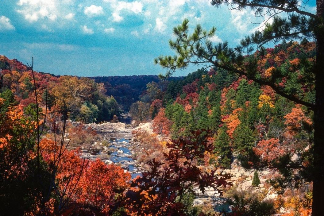
The Ozark National Forest comprises two separate Arkansas forests, both managed by the U.S. Forest Service. These two forests are in the Ozark Mountains and the St. Francis National Forest on Crowley's Ridge. Each forest presents miraculous feats of mother nature with its vast ecosystems and topographical climate.
This national forest spans an incredible 1.2 million acres, mainly in the northwestern section of Arkansas. In comparison, the St. Francis National Forest covers 22,600 acres in eastern Arkansas. For visitors and residents alike, the Ozark National Forest boasts endless ways to get out and explore! There is an outdoor activity for everyone in the Ozarks, including camping, hiking trails, swimming, fishing, horseback riding, perusing scenic byways, wildlife viewing, and more.
About the Ozark National Forest
The land of the modern-day Ozark National Forest belongs to the Native Osage, Caddo, O-ga-xpa Ma-zho? (O-ga-xpa), and O?héthi ?akówi? tribes. A series of plateaus that are uplifted as a unit with various folds and faults, the Ozark Mountains were caused due to erosions of mighty rivers flowing into them. The southern section of the Forest lies next to the Arkansas River Valley into the Quachita Mountains.
Technically, the Ozark Mountains extend the Boston Mountains and the south side of the Springfield Plateau. As far as the makeup of the vegetation of the Forest, the Ozarks are composed of upland hardwood of oak-hickory, scattered pines, brushy undergrowth, dogwood, maple, redbud, serviceberry, and witch-hazel.
Wilderness Areas of the Ozark National Forest
Cavan Images via Getty Images
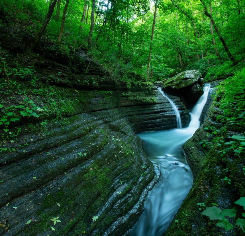
The Ozark National Forest has five wilderness areas that make up 65,826 acres of pristine landscape to adventure through that were established in 1984 with the Arkansas Wilderness Act. The Upper Buffalo Wilderness Area is made up of almost 12,000 acres in Newton County, Arkansas. This area contains the headwaters of the Buffalo National River.
The Hurricane Creek Wilderness Area encompasses over 15,000 acres in Newton and Johnson Counties. It is characterized by oak-hickory forest, sandstone bluffs, and Hurricane Creek. The 165-mile Ozark Highlands Trail also crosses through Hurricane Creek. The third wilderness area in the Ozarks is Richland Creek, which features 11,822 regions. The beautiful Richland Creek serves as the highlight. This area has a lot of wildlife, isolated backcountry areas, and incredible scenic views.
East Fork Wildnerness Area presents over 10,000 acres in Pope County with the quintessential "hills and hollows" and crystal-clear streams. The fifth and final Wilderness Area is Leatherwood in Marion, Baxter, and Searcy Counties. It has almost 17,000 acres of the steep and rugged landscape and the Buffalo National River.
Camping in the Ozarks
There are ample opportunities for spending the night in the Ozarks, including developed campsites such as Blanchard Springs Recreation Area, Redding, and Cove Lake (open year-round). Lake Wedington, Shores Lake, Storm Creek, and Long Pool are available from May to October. Always set up camp away from water sources and be mindful of rainfall in this area as showers are known to cause flooding.
There are 25 recreation areas throughout the forests, with over 320 campsites and nine developed swimming areas. This allows visitors to pick their preference of where to camp: on top of Mt. Magazine (the tallest mountain in the forest) in the new Mount Magazine State Park? On the glorious Mulberry River or the Mississippi River? There are also plenty of options for dispersed and primitive camping at no charge.
Scenic Byways
If taking scenic drives is more your style, the Ozarks present over 160 miles of year-round road-tripping fun! You can enjoy mountain views and incredible recreation year-round. However, around late October is when the forests show off their fall colors.
Hiking in the Ozark-St. Francis National Forest

H. Abernathy/ClassicStock/Getty Images
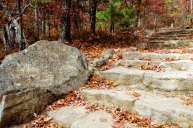
Hikers can rejoice at the number of hiking trails in the forests (approximately 300 miles!). Whether you are taking a stroll, mountain biking, or horseback riding, there is a multi-use trail for you. Some favorites include the Huckleberry Mountain Horse Trail, the Mt. Magazine, to Cove Lake Trail.
The famous Ozark Highlands Trail spans 165 miles beginning at Lake Fort Smith State Park on Arkansas 71 and crossing the forest to Woolum. The White Rock Loop trail connects the Shores Lake and White Rock Mountain recreation areas.
Suppose you are horseback riding through the woods. In that case, the Sorghum Hollow Horse Camp is the trailhead camp for the Huckleberry Mountain Horse Trail System. The Syllamo Mountain Bike Trail in the Sylamore Ranger District has created pristine trails specifically for mountain biking.
Water Sports in the Forest
Andre Seale/VW PICS/Universal Images Group via Getty Images
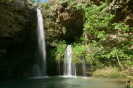
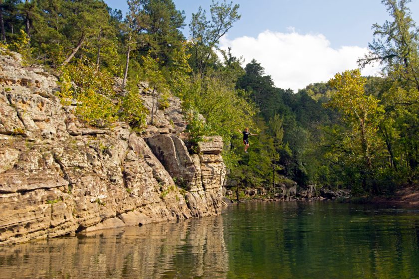
For those who appreciate spending their time on the water, fishing and canoeing are lovely options. Anglers will find smallmouth bass, sunfish, trout. In the spring months, boaters can experience whitewater floating trips (specifically on the Mulberry River and Big Piney Creek) when the waters are higher.
Visitor Centers
Depending on what part of the forests you are heading to, there is a ranger station for you to stop by, ask questions, or call for more info. These include the Ozark-St. Francis National Forests supervisor office in Russellville, Big Piney in Hector, Jasper North office in Jasper, Blanchard Springs Caverns in Fifty-Six, Boston Mountain in Ozark, Cass Job Corps Center in Ozark, Mt. Magainze Ranger District in Paris, Pleasant Hill Ranger District in Clarksville, St. Francis National Forest in Marianna, AR, and Sylamore Ranger District in Mountain View.
Have you trekked across the Ozark National Forest? Share your trip on our Wide Open Roads Facebook!
