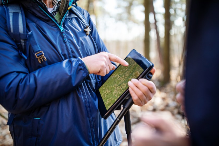
One of the biggest roadblocks for new hikers is the fear of getting lost in the woods. Fortunately, there are plenty of hiking apps designed to help hikers navigate safely through the wilderness.
Most apps have similar functionality, but many have individual features that make them unique. Most have free and paid versions. The best hiking apps update in real time and have the ability to be used, or to reference, in situations without cell phone service. Many remote hiking areas lack a robust signal, and this one functionality can make or break a good trip.
Other things to look for in a hiking app are location sharing, waypoint marking, and ease of use—especially for beginners.
1. AllTrails

SrdjanPev/Getty
The popular app AllTrails is perfect for locating biking and hiking trails off the beaten path or points of interest such as dog parks close to home. Search by difficulty level, elevation gain, length and route type, plus browse honest reviews from fellow users. You can access a trail map for your chosen hiking route as well as driving directions to the trailhead.
All this is available on the free version—for iPhone or Android—but the pro version at $30 a year offers added functionality. Paid features include the ability to download maps for offline access when trekking the backcountry outside cell coverage, share your location with loved ones, and check trail conditions in real time with map overlays.
2. Gaia GPS
The Gaia GPS app is one of the best navigation apps for planning your next outdoor adventure, letting you check out detailed topo maps and create your own waypoints for free. Premium version membership also allows you to download offline maps, print custom maps, and access specialty maps for activities such as fishing, hunting, and backpacking, all for $20 per year. It's available for download from the Apple Store or Google Play.
3. Hiiker
The Hiiker app is great for both beginners and advanced hikers. Each trail on the app includes a GPS map, a printable map, information about each stage of the hike, campgrounds/accommodations on the trail, and community reviews.
One cool feature is the live locator, which hikers can use to share their live location data with whomever they choose.
The Hiiker user experience is highly customizable, with users being able to adjust map styles, measurement units, hike speed estimates and more. Like other hiking apps, it is available as either a free version or paid subscription.
4. PeakVisor
Discover your exact location on any trip with PeakVisor, which uses your phone's camera to identify mountain peaks around you. You can also find hiking trails to summits you want to reach and identify the peaks in old photos you upload. The paid PRO version allows to use these features offline for iOS or Android.
5. Avenza Maps

alvarez/Getty
What sets Avenza Maps apart from other trail hiking apps is its offline capabilities. Avenza gives users access to more than 1 million geospatial PDF maps by activity type, including hiking, skiing, and fishing. There is also the ability to import your own maps, mark locations, add photos, and more.
Avenza offers a few different options including a free version, Plus for $30 per year, or Pro for $145 per year. The free version lets users have up to three maps at once; the Plus tier lets users try unlimited maps; and the Pro version is aimed at commercial, academic, government, and professional users, providing technical support and registration links.
6. Hiking Project

Jose Carlos Cerdeno/Getty
Developed by outdoor gear company REI, this app allows hikers and backpackers to submit trails, which are all vetted by staff before they're posted. You'll find route highlights, elevation profiles, water sources, and details on what plants and wildlife to expect. Best of all, the Hiking Project app is free to download.
READ MORE: Best Women's Polarized Sunglasses for Fishing and Hiking


